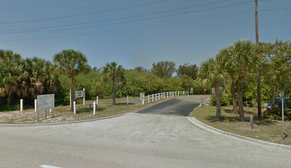
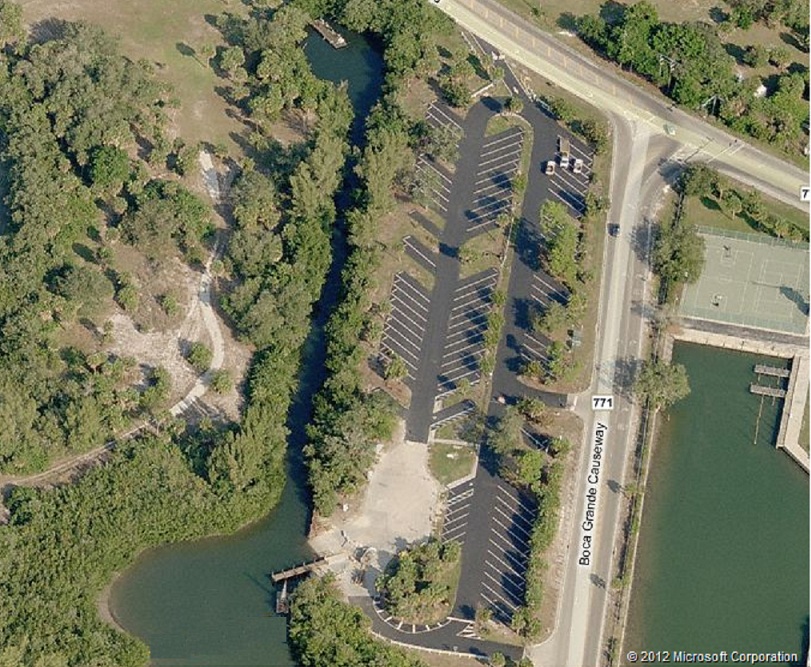
Placida boat ramp
look at on
![]()
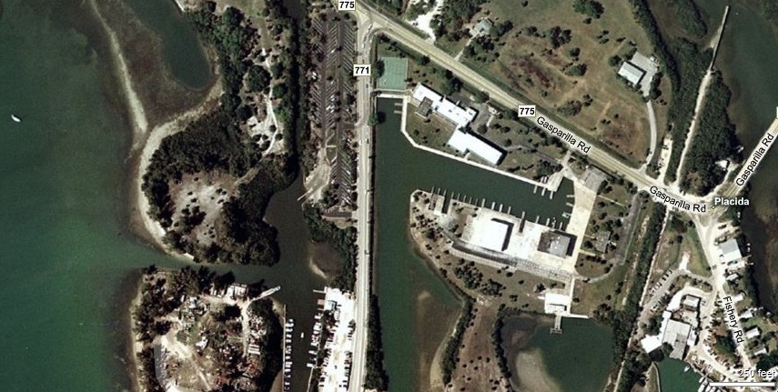
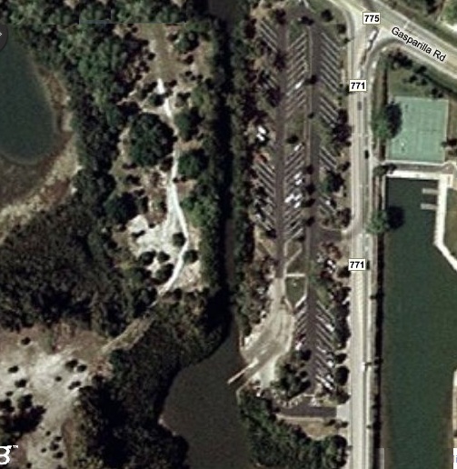
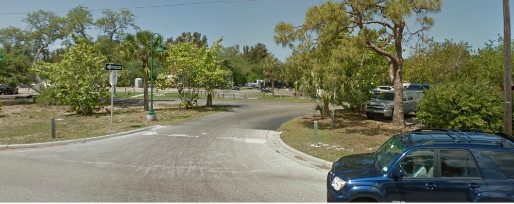
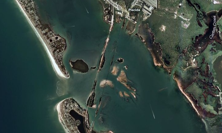
Looking at his picture shows you this is not the entrance it is the next one. the ramp is on your right, just before the bridge on the cause way.
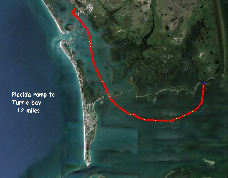
How far to ?
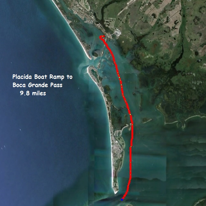
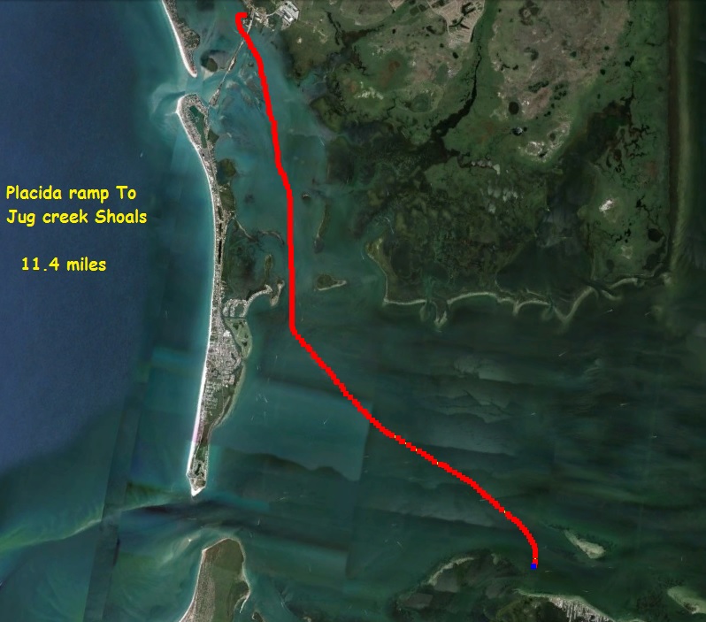
from the Placida Boat Ramp to Jug creek Shoals
This over- view show you how close you are to the gulf.
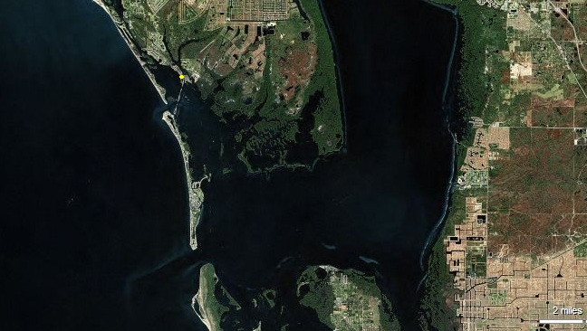
The yellow dot shows where the ramp is in relationship to cape haze, Turtle bay, & Bull Bay
How to get there from Fishin Franks
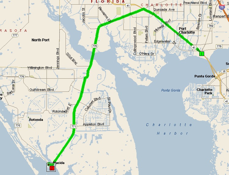
Summary: 22.0 miles (30 minutes)
| Time | Mile | Instruction | For | Toward |
| 9:00 AM | 0.0 | Depart 4425 Tamiami Tr, Port Charlotte, FL 33980 Fishin Franks | 142 yds | |
| 9:00 AM | 0.1 | Turn LEFT (North-West) onto US-41 [SR-45] | 5.6 mi | |
| 9:07 AM | 5.7 | Bear LEFT (West) onto Local road(s) | 21 yds | |
| 9:08 AM | 5.7 | Road name changes to SR-776 [El Jobean Rd] | 7.1 mi | |
| 9:17 AM | 12.8 | Keep STRAIGHT onto SR-776 [McCall Rd] | 1.1 mi | |
| 9:18 AM | 13.9 | Turn LEFT (South) onto CR-771 [Gasparilla Rd] | 7.7 mi | |
| 9:28 AM | 21.5 | Turn RIGHT (West) onto CR-775 [Placida Rd] | 0.3 mi | |
| 9:29 AM | 21.8 | Turn LEFT (South) onto CR-771 [Boca Grande Causeway] | 0.1 mi | |
| 9:30 AM | 21.9 | Turn RIGHT (West) onto Local road(s) | 54 yds | |
| 9:30 AM | 22.0 | Arrive Placida boat ramp |
SUMMARY
Driving distance: 22.0 miles
Trip duration: 30 minutes
Driving time: 30 minutes
Cost: $1.87