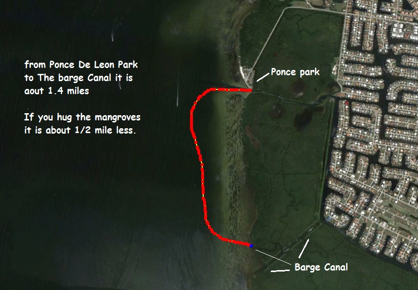
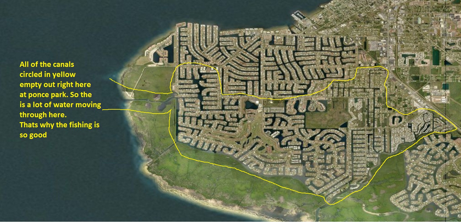
Ponce park, Or Ponce De Leon park
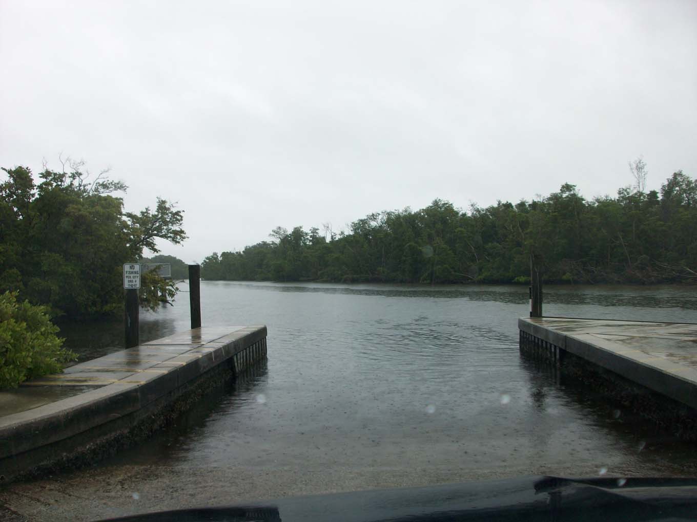
This a fast moving canal which holds Sheep head, Snook, Spade fish, Red fish,
Jacks,
You get the idea there is a lot of fish here.
Directions from Fishin Franks at the bottom of page.
Distance maps at bottom of page
look at on
![]()
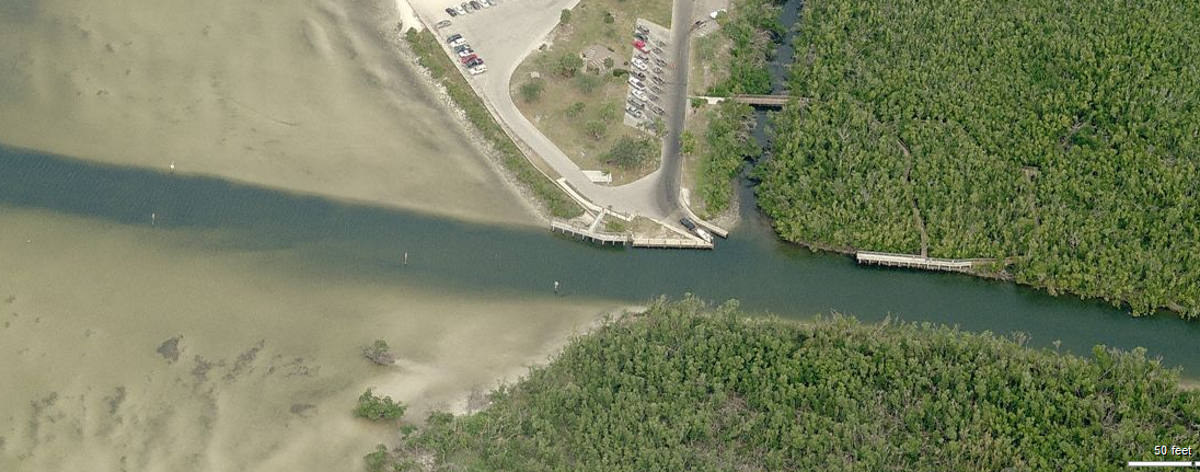
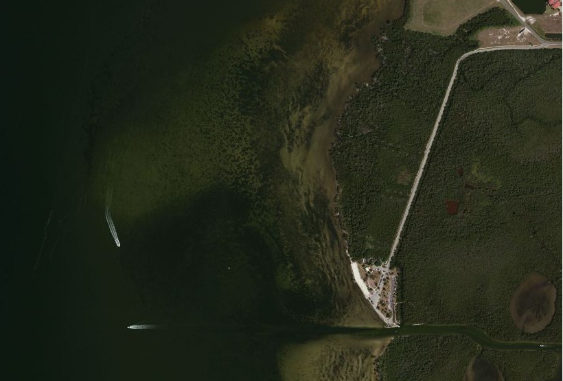
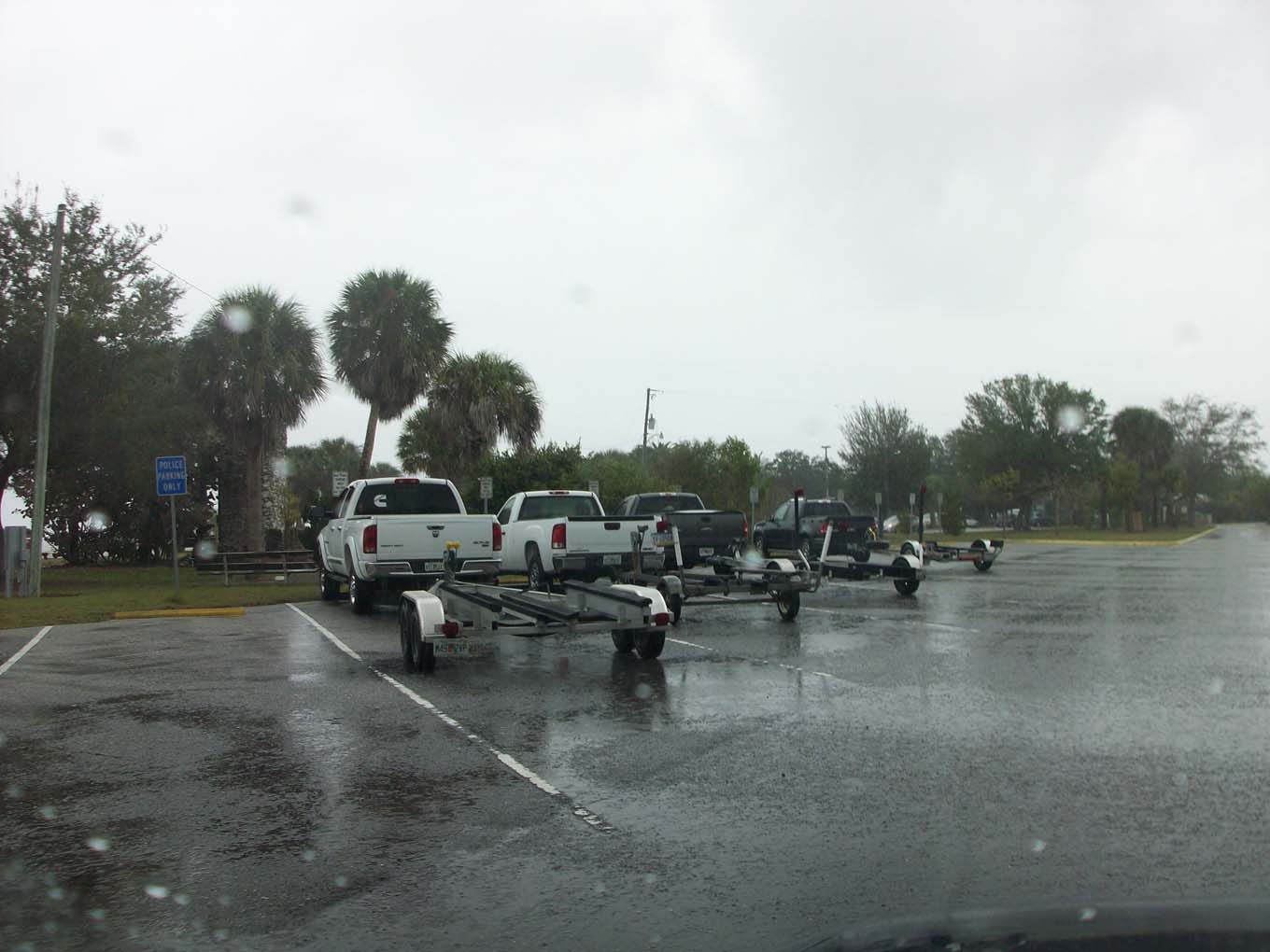
Just a look at the parking lay out.
The other thing you see in this photo is the flat, you can wade the area that
look like sand is really shallow water,
which if you walk out next to the boat channel, Trout, puffers, Flounder, Red
Fish, can be caught.
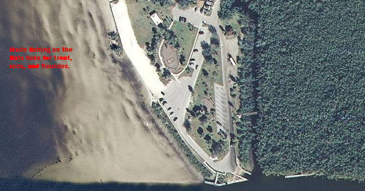
This is a great place to use your fly rod, plenty of room to cast and for the
trout, small bright color flies,
go out until the water is just past your knees, then start fishing north "to
your right" easy access and good fishing.
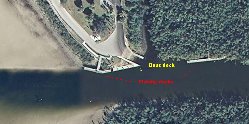
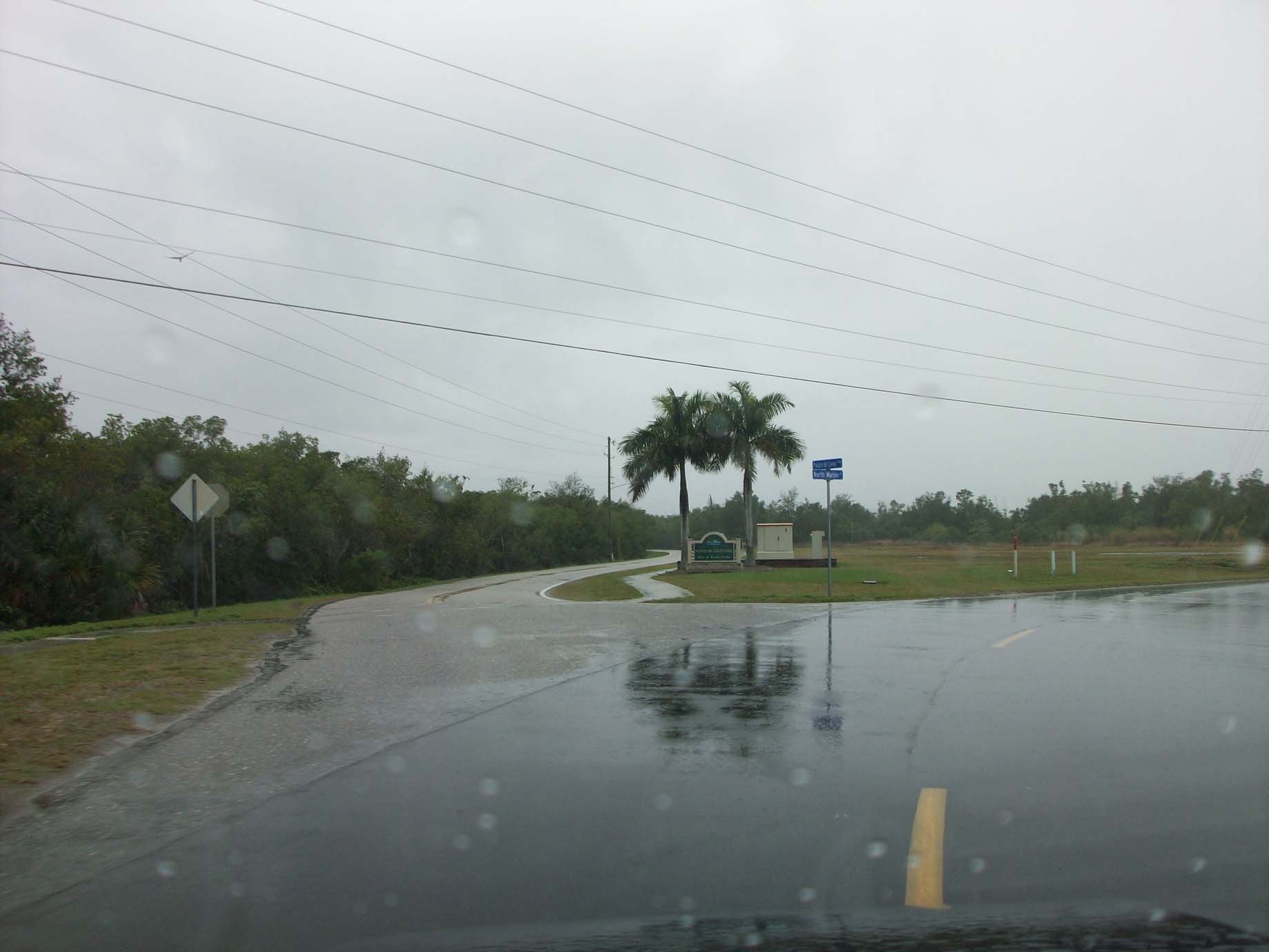
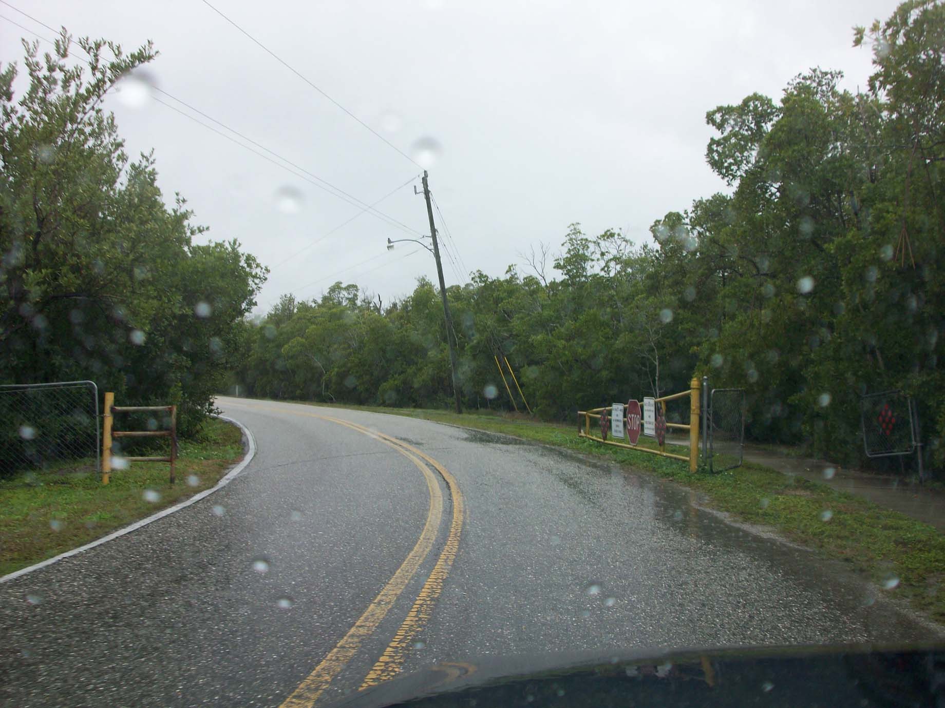
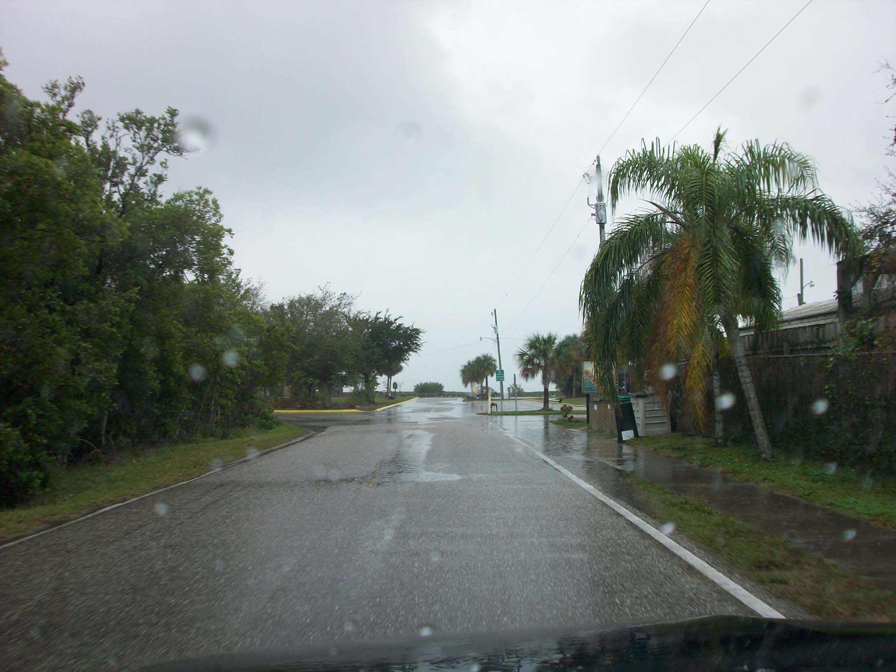
Some Pics to show you about Ponce, There is also a bird sanctuary here. and I
forgot to get photos of the fishing pier
well it was a rainy days, at least this gives you an Idea of what it looks like.
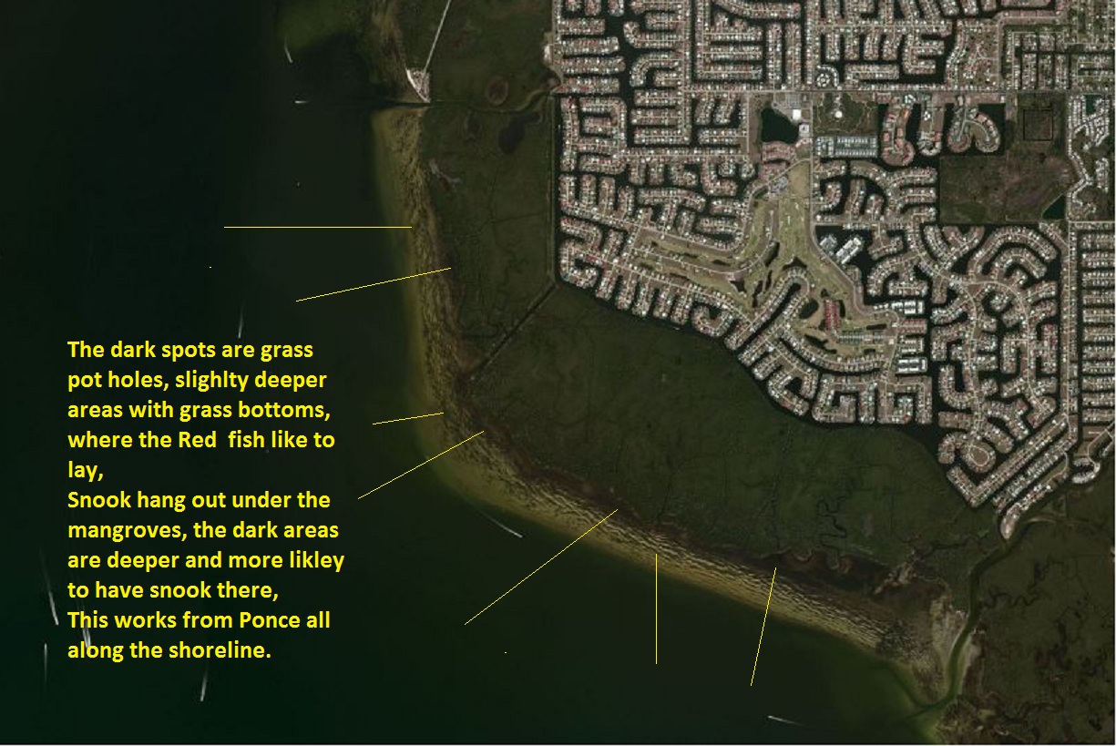
Pictures at "Ponce"
Boat ramp, good deep water ramp, but <-- can be very tricky to load on a fast
outing tide>
the water really rips through here.
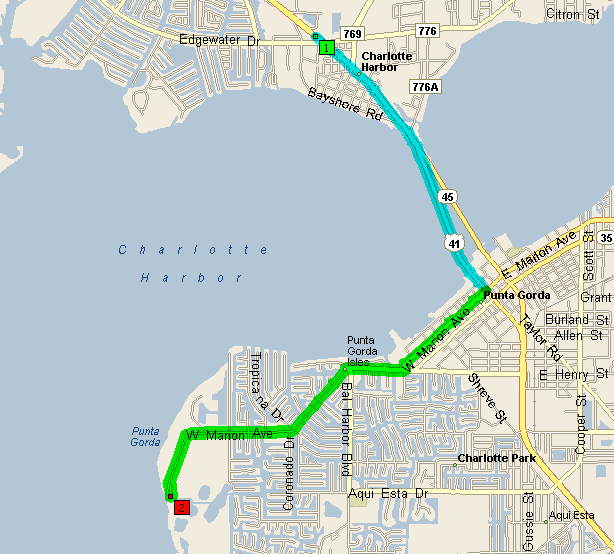
| Time | Mile | Instruction | For | Toward |
| 9:00 AM | 0.0 | Depart
4425 Tamiami Tr, Port Charlotte, FL 33980 on US-41 South Fishin Franks |
2.6 mi | |
| 9:03 AM | 2.6 | Turn RIGHT (South-West) onto W Marion Ave | 1.0 mi | |
| 9:06 AM | 3.6 | Turn RIGHT to stay on W Marion Ave | 2.6 mi | |
| 9:12 AM | 6.2 | Arrive W
Marion Ave, Ponce De Leon Park |
SUMMARY
Driving distance: 6.2 miles
Trip duration: 12 minutes
Driving time: 12 minutes
Cost: $0.53
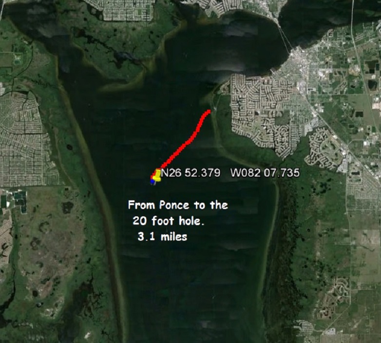
To the 20' hole
or AKA deep hole or Upper hole
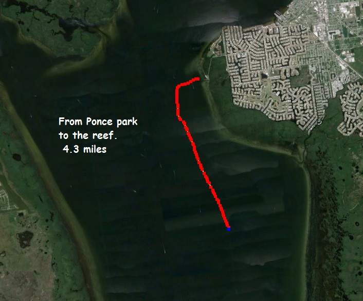
To the alligator Creek Reef
AKA concrete reef or 1 mile reef
To Boca Grande pass
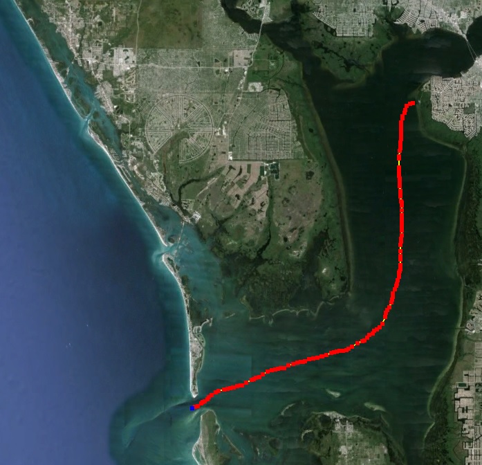
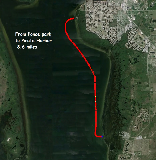
To Pirate Harbor
The Barge Canal