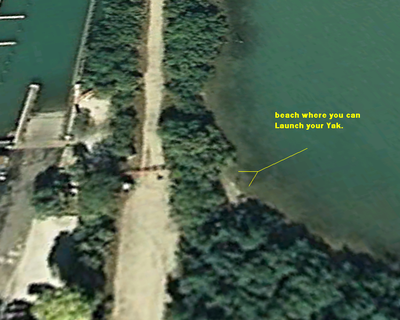
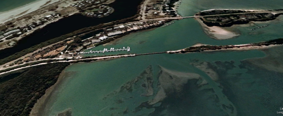
South Pier Kayak launch
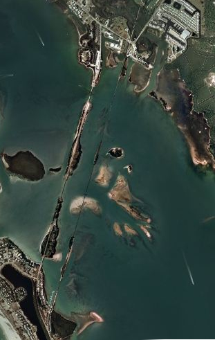
Lots and Lots of Fishing here, But be careful this is where a lot of big boats run real fast.
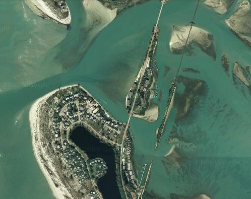
This is on the Intercostals Boca Grande, Gasparilla Island.
look at on
![]()
![]()
You can see here little Gasparilla Pass, at the top of the island
a great spot to Kayak if you want to be swept out to sea.
Be careful
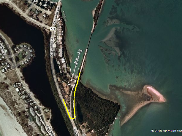
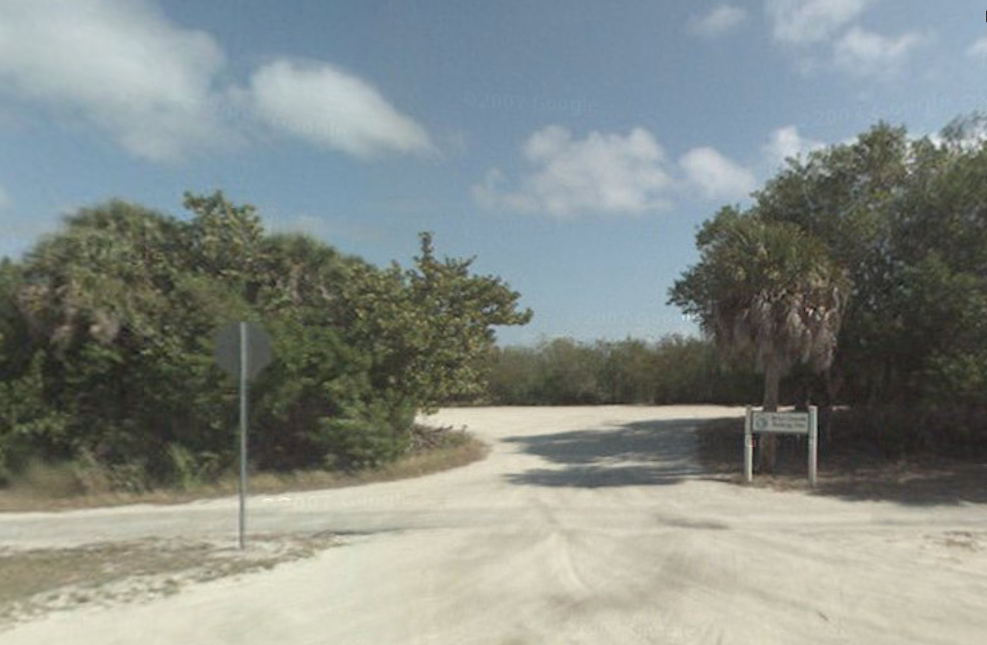
The entrance To South Pier, It is the second left once you are on the island.
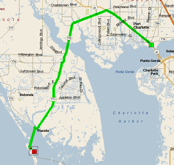
Summary: 24.2 miles (34 minutes)
| Time | Mile | Instruction | For | Toward |
| 9:00 AM | 0.0 | Depart Fishin Franks | 142 yds | |
| 9:00 AM | 0.1 | Turn LEFT (North-West) onto US-41 [SR-45] | 5.6 mi | |
| 9:07 AM | 5.7 | Bear LEFT (West) onto Local road(s) | 21 yds | |
| 9:08 AM | 5.7 | Road name changes to SR-776 [El Jobean Rd] | 7.1 mi | |
| 9:17 AM | 12.8 | Keep STRAIGHT onto SR-776 [McCall Rd] | 1.1 mi | |
| 9:18 AM | 13.9 | Turn LEFT (South) onto CR-771 [Gasparilla Rd] | 7.7 mi | |
| 9:28 AM | 21.5 | Turn RIGHT (West) onto CR-775 [Placida Rd] | 0.3 mi | |
| 9:29 AM | 21.8 | Turn LEFT (South) onto CR-771 [Boca Grande Causeway] | 2.0 mi | |
| 9:33 AM | 23.8 | Road name changes to Gasparilla Rd | 0.3 mi | |
| 9:34 AM | 24.1 | Turn LEFT (East) onto Local road(s) | 174 yds | |
| 9:34 AM | 24.2 | Arrive South Pier Kayak Launch |
SUMMARY
Driving distance: 24.2 miles
Trip duration: 34 minutes
Driving time: 34 minutes
Cost: $2.06